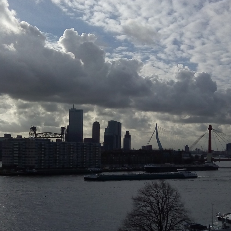
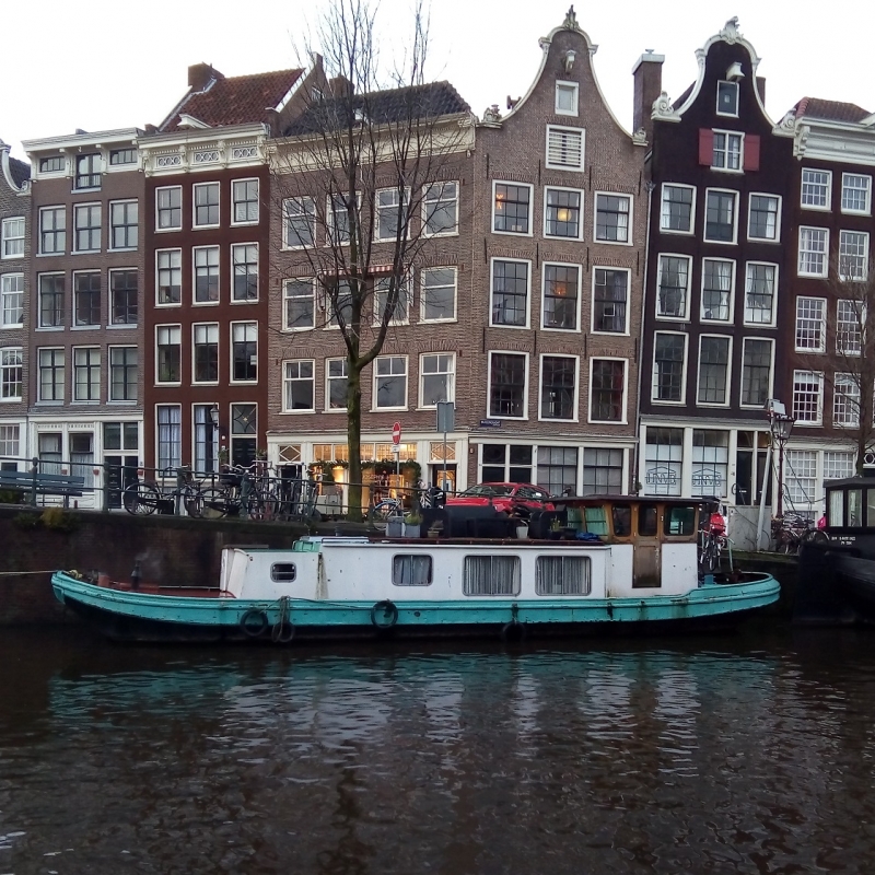
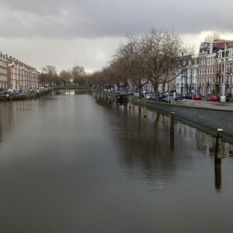
If building Mexico City on a lake was audacious, the Dutch were even more daring to build their cities below sea level. 60% of the country´s surface, where 9 million Dutch people are living, is vulnerable to being flooded and, consequently, flood risk management has become an integral part of their water policy.
The first unsuccessful attempts to control the water were paddles pulled by horses, which gave rise to the Dutch saying “That does not gain any land to the dike.” Until the beginning of the fifteenth century when the mill was built, this instrument allowed them for the first time to have sufficient capacity to pump water out of the polders (land reclaimed from the sea) and ensure that the land had favorable conditions for agriculture. The first mill was built in 1413 and later dozens of them were built throughout the region, so for the first time the Dutch slept peacefully, thinking they had managed to control the water.
Despite these advances, on the night of February 1, 1953, a fatal combination of high waves and storm broke a total of 89 dams, and flooded an area of approximately 150,000 hectares where 1,835 people died. It was the ingenious solution of Mayor Nieuwekerk that managed to stop the entry of seawater into Dutch territory, when he asked the ship’s captain Twee Gebroeders to maneuver the ship and position it in such a way that it lodged in the hole that had been made in the dike, managing to stop the flow of water.
The consequences of the catastrophe were enormous, in addition to the human losses, cattle were lost, and the fertile land ceased to be suitable for agriculture for many years, due to the salt intrusion. A total of 72,000 people had to be evacuated and relocated to safer places.
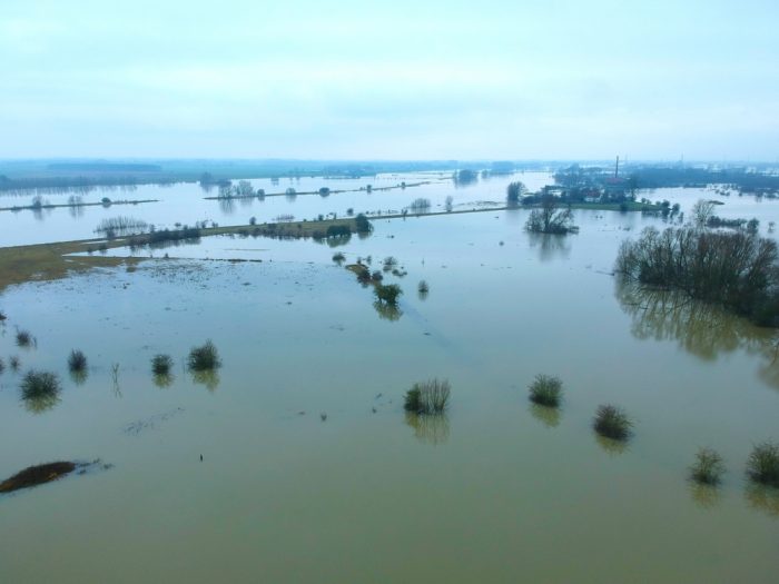
This terrible event motivated that just twenty days after the tragedy the Delta Commission (Deltacommissie) was formed, which would be responsible for the implementation of the Delta Plan aimed at ensuring sustainable protection in the delta region, without closing the sea lanes so as not to affect the economy of the country due to the great economic importance of the ports of Rotterdam and Antwerp.
With the construction of the new hydraulic infrastructure, which introduced the auxiliary dikes that are found in the mouths of the channels and that divide the water into multiple compartments, it was possible to better control water currents and also favor mobility and maritime communication between the different regions of Holland.
Not only did the new hydraulic approach allow for better protection of the Dutch territory, but it also brought a series of environmental benefits to the country. By changing the boundaries between fresh and salt water with the construction of the levees, the water balance of the delta region was modified favorably, thereby improving the supply of fresh water for agriculture. Less fresh water was needed to maintain the balance between drinking and fresh water and the total water balance in the delta region increased. Different types of locks were placed in different places to allow the passage of fresh water and thus discard dirty water, so that the quality of the water was also improved.
To date, the Delta Plan is the planning instruments and the framework for action set out in the directives to protect the Netherlands against floods. The plan has evolved over the years, incorporating a climate change perspective by adding in its objectives to make Dutch cities climate and resilient to weather conditions by 2050, but its overall objective remains to ensure the management of flood risks.
References:
https://english.deltacommissaris.nl/delta-programme/regions-and-generic-topics/spatial-adaptation
https://english.deltacommissaris.nl/delta-programme
https://amsterdamsmartcity.com/projects/amsterdam-rainproof
https://www.rotterdam.nl/wonen-leven/waterplan-2/
https://amsterdamsmartcity.com/projects/rooftop-revolution
This article is from Raquel Vargas from the National Water Commission. The content of this article is the sole responsibility of the author.

