Control and surveillance activities are fundamental for the efficient management of Natural Protected Areas. SMART (Spatial Monitoring and Reporting Tool) is a free Software integrated by a database, a geographic information system and a module of analysis and reporting.
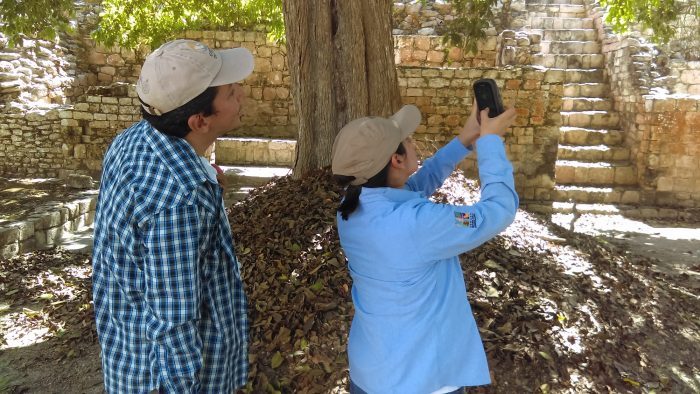
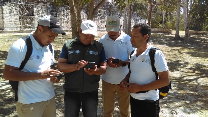
The SMART tool has been developed by a consortium of conservation NGOs to support control and surveillance, as well as application of the law in Natural Protected Areas (ANP, for its Spanish acronym). The tool allows the systematic entry of observations in digital and georeferenced form, directly in the field, through mobile phones as well as the automated reporting of patrols and their analysis, from the office. In this way, an adaptive and efficient management of ANPs is facilitated.
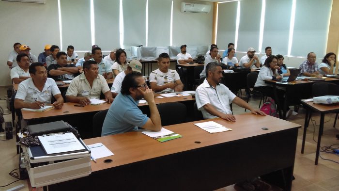
In collaboration with the National Commission of Natural Protected Areas (CONANP), the regional project “Development of a regional system to monitor biodiversity and climate change”, implemented by GIZ (Deutsche Gesellschaft für Internationale Zusammenarbeit GmbH) is piloting the implementation of SMART in the Sian Ka’an Biosphere Reserve (Quintana Roo) and the Calakmul Biosphere Reserve (Campeche). In December 2017, a first planning and definition workshop for the SMART tool database structure was held in Chetumal, Quintana Roo. This workshop was attended mainly by managers of the reserves and regional management and Central Area of CONANP to become familiar with the tool and make key decisions. In March 2018, the management and technical team received a 4-day course on the use and implementation of SMART. The workshops were given by experts from the Wildlife Conservation Society (WCS) and the Monitoring and Evaluation Center (CEMEC) of the National Council of Protected Areas of Guatemala (CONAP). Corresponding training courses are conducted in Guatemala and Belize.
The implementation of the tool will streamline reporting by resource rangers and will make it more efficient. In this way, more and better information on threats and the state of biodiversity, as well as on conservation efforts, can be obtained. SMART also makes it easier to get this information to decision makers in a more regular, demonstrative and objective manner.